In the past residents of Shuwaymia wishing to travel to Hasik have had to drive a tortuous 450 km to reach there – or go by sea – this, despite there being less than 70kms between the two settlements as the Verraux’s Eagle flies, so to speak.
In January 2014 a new stretch of road was opened up, cutting the journey to a more manageable 97kms – and what a fabulous piece of civil engineering it is! The work was done by Al Ghalfar Engineering & Contracting SAOG and their task involved excavating 7.8 million cubic metres of material of which around 5 million was rock. They had to construct 60,000 square metres of MSE walls and they used 120,000 cubic metres of concrete!
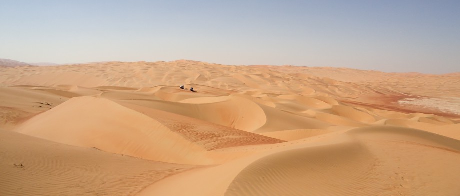
Our journey starts in Salalah where we travelled Eastwards along the E49, past Khor Ruari (part of the Frankincense Tour) and the settlements of Taqah and Mirbat. Take a left at Sedah/Sadah from where the road hugs the coast enjoy the most amazing scenery.
There are lots of potential beach camping spots between Sedah and Hasik and as the road is not particularly busy there should not be too much disturbance from traffic overnight. It’s worth mentioning that if you travel here in the Kareef season it will not be possible/safe to camp on the beach due to the incredibly rough and high seas.
Our last stop before hitting the new road was at an unusual waterfall at GPS N17 28.508 E55 13.803. Not only do little droplets of fresh cold water cascade over the top, but even the rock looks like it is flowing. There is a parking area and a small man-made pool to cool your feet in – there are also public loos.
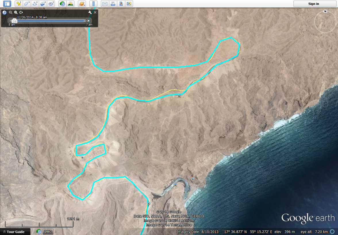
We could have spent the whole day exploring this short stretch of road but with 1000kms to go to reach home and a plan to reach Hayma (the halfway point) by nightfall we had to move on. One cannot help but be impressed by the roads the Omani authorities are building; carving out carriageways from hard rock in the most remote places takes vision and a lot of Riyals! There are lots of viewpoints with quite large parking areas and one of these was just above the lovely oasis pictured below.

New Hasik to Shuwaymia Road
I am never comfortable on mountain roads however there are concrete crash barriers around every corner where there is a drop-off, and much of the road is literally carved out of the mountain. We climbed steadily through the first series of switchbacks before the road levelled out a little, in preparation for the next ascent. You don’t need a 4WD to drive this road, but do consider that any car will use more petrol than normal on the steep climbs and fuel up accordingly.
Once past the hairpin bends the driving became much easier and we had lunch at a fantastic viewpoint at N17 43.851 E55 18.736. We camped here on our “Ultimate Omani Odyssey Trip” back in October 2013 but this time there was less time to stop and gaze at the wadi below. There’s a 300 metre drop just beyond where my friend Mike Galvin pitched his tent last year!
After reaching Shuwaymia the road heads inland to reach Shalim. If you want to continue driving along the cost to Duqm, Misaira, Sur and Muscat take a right along road 41; alternatively you can do as we did and continue on Road 42 until you reach Road 39 which will take you northwards to Road 31 which is the main Muscat-Salalah road.

Elevation Plot
Distance from Sedah to Shalim – 196kms. Average moving speed 68km/h. Ascent 2024 metres, descent 1847 metres.
As a guide, you should allow 5 hours to travel between Salalah and Shalim.
Note – the road between Mirbat and Sedah is currently being upgraded so there are some construction works.
Note – when you drive in Dhofar keep an eye out for camels, cows or goats straying onto the road!
Fuel Stations
Sedah – N17 03.731 E55 04.738
Hasik – N17 26.278 E55 16.114
Shuwayamia – N17 53.109 E55 36.755
Shalim – N18 07.001 E55 39.647
GPX track can be downloaded here.